All images / illustration
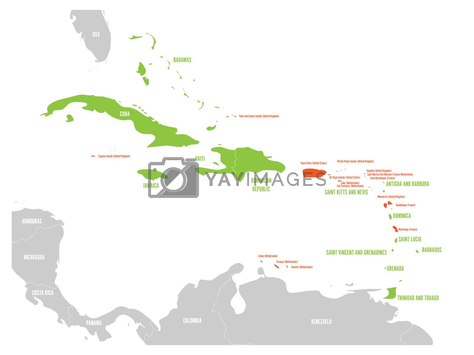
Political map of Carribean. Green highlighted sovereign states and orange dependent territories. Simple flat vector illustration
Political map of Carribean. Green highlighted sovereign states and orange dependent territories. Simple flat vector illustration.
-
License:
Royalty Free License.
The license type determines how you can use this image.

Std. Ext. Print / Editorial Graphic Design Web Design Social Media Edit & Modify Resale Items 1 Unlimited Runs - Please see licensing information by clicking here
Vector
All images / illustration
Size Selection:
You can re-download any size after the purchase.
Want to Download? Subscribe and
Gain Access to Millions of Stock Assets:
Keywords
-
map
caribbean
atlas
caribbean map
american
bahamas
country
cuba
geography
jamaica
land
vector
area
cartography
cayman
region
barbados
haiti
antilles
contour
outline
sea
state
dominica
grenada
illustration
puerto rico
hispaniola
dominican
island
gulf
mexican
antigua
barbuda
america
central
belize
border
globe
political
trinidad
tobago
administrative
regional
label
name
grey
gray
orange
green